
Weather
Experts on when the wet weather is set to end as temperatures of 24C to return
Key Points
Experts on when the wet weather is set to end as temperatures of 24C to return Despite the wet weather most of England and all of Wales is in drought - Bookmark - CommentsGo to comments Milder conditions are set to return following a rainy start to the week as temperatures are forecast to creep back up to 24C. Heavy rain is set to sweep across the UK on Tuesday with temperatures plunging to 11C in Scotland and 15C in the south of England. Although the weather has changed bringing more...
Experts on when the wet weather is set to end as temperatures of 24C to return
Despite the wet weather most of England and all of Wales is in drought
- Bookmark
- CommentsGo to comments
Milder conditions are set to return following a rainy start to the week as temperatures are forecast to creep back up to 24C.
Heavy rain is set to sweep across the UK on Tuesday with temperatures plunging to 11C in Scotland and 15C in the south of England.
Although the weather has changed bringing more unsettled conditions, all of Wales and most of England remains in drought. That’s because sustained rainfall is needed to reverse the drought conditions.
In the south of England Tuesday will be the wettest day of the week, but in the north of England Manchester is set to see showers from Thursday afternoon.
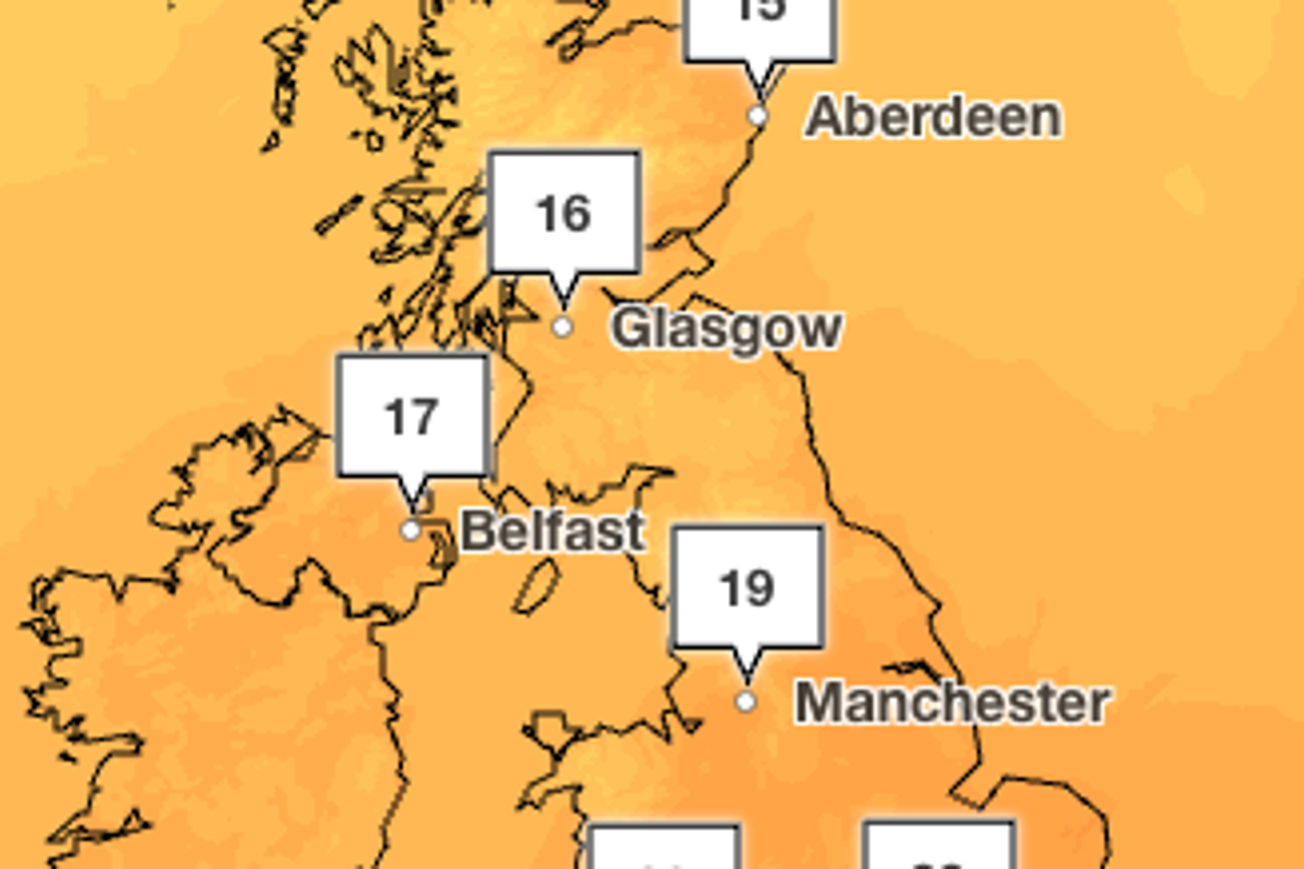
By Saturday temperatures in London will reach 23C, with highs of 19C in Cardiff and 17C in Manchester. On Monday the capital will see highs of 24C and most of England and Wales will see temperatures in the low 20C in a warm start to the week.
It comes after the Met Office this week confirmed the UK experienced its hottest summer since records began nearly 150 years ago.
Five heatwaves between May and August left the majority of the country in drought and have sparked wildfires and travel disruption.
The UK recorded a mean average temperature across June, July and August of 16.5C, beating the previous seasonal high of 16.1C set last year, the Met Office said.
The highest temperature recorded this summer was on 13 August at Kew Gardens, when the mercury hit 38.1C.
Changeable conditions with occasional rain or showers arriving from the North Atlantic, are set to be frequent in northern and western parts of the UK until the end of September, according to the Met Office.
But there will also be some dry and more settled periods in the south.
Towards the end of September high pressure may become more dominant bringing more settled conditions, with warmer daytime temperature and cooler nights.
Met Office five day forecast
Today:
Heavy rain slowly clearing the southeast in the morning. A brighter day for many and feeling fresh. Winds gradually easing in the north, with showers too.
Tonight:
Drier tonight with a few showers and plenty of clear spells. Lighter winds and feeling chilly, particularly in the countryside.
Wednesday:
Largely dry on Wednesday with plenty of sunny spells. Showers gradually easing along the east coast. Temperatures around or slightly below average for the time of year.
Outlook for Thursday to Saturday:
Drier and brighter on Wednesday with spells of sunshine. Another band of rain then moves in for Thursday, before drier and brighter weather returns on Friday. Temperatures likely around average.
Join our commenting forum
Join thought-provoking conversations, follow other Independent readers and see their replies
Comments
[Image text:] 17
16
Aberdeen
Glasgow
Belfast
19
Manchester