
Science
Drone LiDAR finds 3 unregistered Aboriginal rock shelters in Australian bushland
Key Points
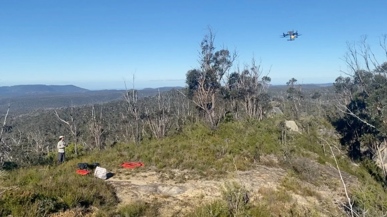
Researchers utilized drone technology to discover three previously unregistered Aboriginal rock shelters in the Blue Mountains region, revealing significant cultural heritage. Collaboration with the Dharug Custodian Aboriginal Corporation ensured accurate documentation of red hand stencils and stone artifacts. This innovative approach may improve archaeological surveys in difficult-to-navigate areas, thereby preserving cultural heritage.
Researchers utilized drone technology to discover three previously unregistered Aboriginal rock shelters in the Blue Mountains region, revealing significant cultural heritage. Collaboration with the Dharug Custodian Aboriginal Corporation ensured accurate documentation of red hand stencils and stone artifacts. This innovative approach may improve archaeological surveys in difficult-to-navigate areas, thereby preserving cultural heritage. Ongoing efforts will assess the method's applicability to different Australian landscapes, ensuring continued protection.